At Phoenix Verse, we are not just a division within Phoenix Geo Services; we are the bridge between the real world and the limitless possibilities of the virtual realm. Established as a natural extension of our parent company’s excellence in aerial surveys and geospatial mapping, we bring you a cutting-edge fusion of technology and imagination.
Our Vision
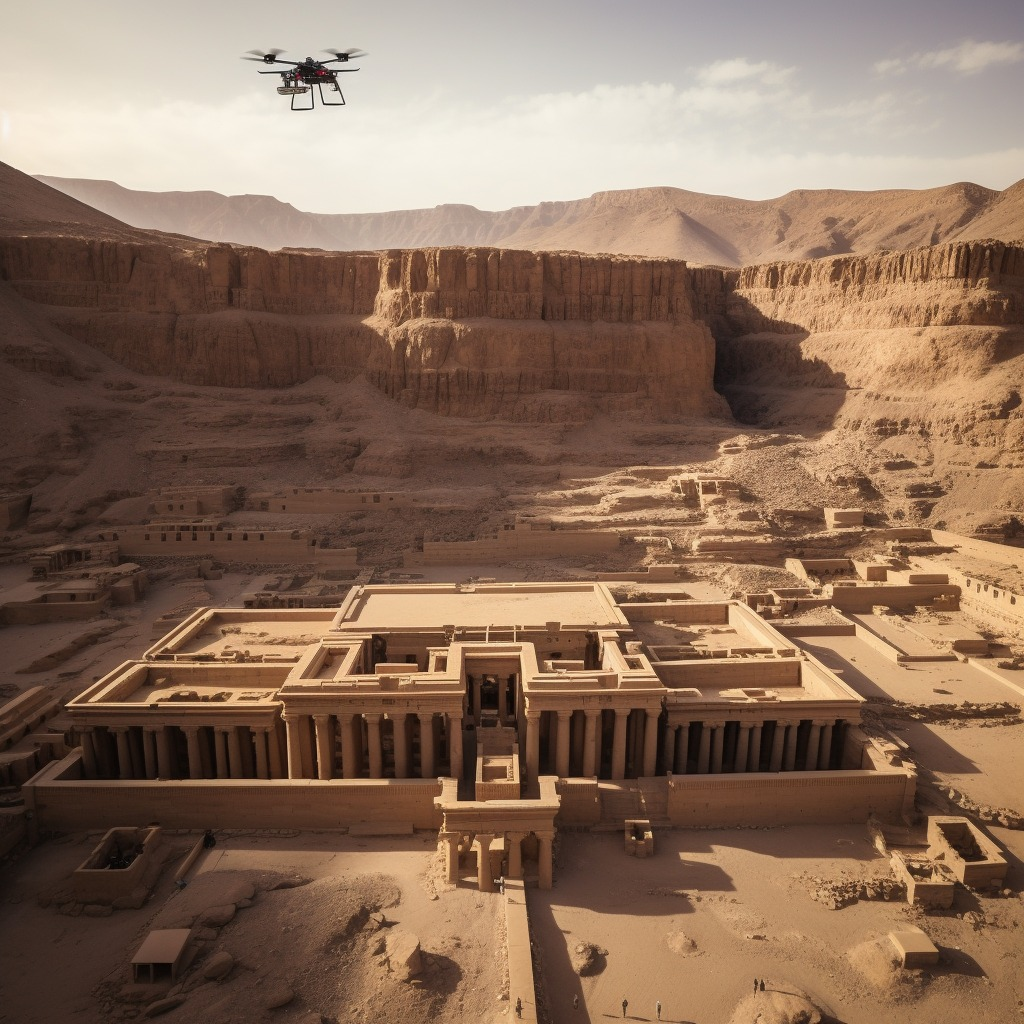
Imagine a world where you can explore the grandeur of Egypt’s historical treasures from the comfort of your home or office, where you can dive deep into a 3D model of a construction site before a single brick is laid, or where you can dissect an entire landscape with millimeter precision, all in a virtual space. That’s the vision we at Phoenix Verse are turning into reality.

Our Services
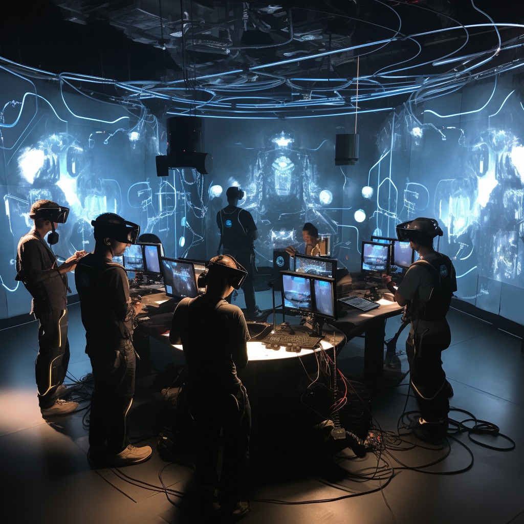
- Immersive 3D ModelingOur journey begins with Immersive 3D Modeling, a service that transcends traditional boundaries. We take geo-referenced photorealistic models created from aerial surveys and elevate them to a new dimension—virtual reality. Step into these meticulously crafted digital replicas of urban and natural environments and experience them like never before.
- Orthomosaic Mapping in VRPhoenix Verse extends the power of Orthomosaic Mapping into the virtual realm. We capture geo-referenced imagery using drones, merge high-resolution images, and transform them into precise orthomosaic maps. Now, you can fly over these maps and witness changes over time with unparalleled detail.
- Digital Elevation Models (DEM) TransformedWith Digital Elevation Models (DEM) in VR, you can navigate the Earth’s surface in ways previously unimaginable. Explore terrain, examine structures, and predict future developments—all with the precision of a Phoenix DEM.
- Seamless Digital Surface Models (DSM)Our Digital Surface Models are not just data; they are experiences. Phoenix Verse integrates DSM into VR, allowing you to soar above ground elevation with stunning clarity. Remove buildings, visualize the land, and export the results seamlessly into your GIS workflow.
- Accurate Digital Terrain Models (DTM)For a pure representation of Earth’s surface, turn to Digital Terrain Models in VR. By filtering out above-ground objects, you get a comprehensive view of the terrain that’s perfect for a range of applications.
- Dynamic Contour MappingStep into the world of Dynamic Contour Mapping in VR. We create 3D representations of regions, complete with hills, valleys, and more. Customize contour intervals and gain a deeper understanding of landscapes right from your VR headset.
- 3D Laser Scanning ReimaginedOur 3D Laser Scanning services push the boundaries of accuracy and detail. We capture the real world in 3D, enabling you to make precise designs and alterations that fit seamlessly into your existing environment.
The Phoenix Advantage
What sets Phoenix Verse apart is our parent company’s ability to scan large, vital projects and model them with unparalleled accuracy and quality. This expertise has paved the way for us to take VR models to unprecedented heights.

Explore Beyond Reality
With Phoenix Verse, you’re not just viewing the world; you’re redefining it. Take the leap into the limitless possibilities of virtual reality, where the past, present, and future merge seamlessly. Whether you’re in construction, agriculture, urban planning, or simply exploring history, Phoenix Verse is your gateway to a new dimension of possibility. Join us on this extraordinary journey, where we invite you to explore, innovate, and transform reality at Phoenix Verse

